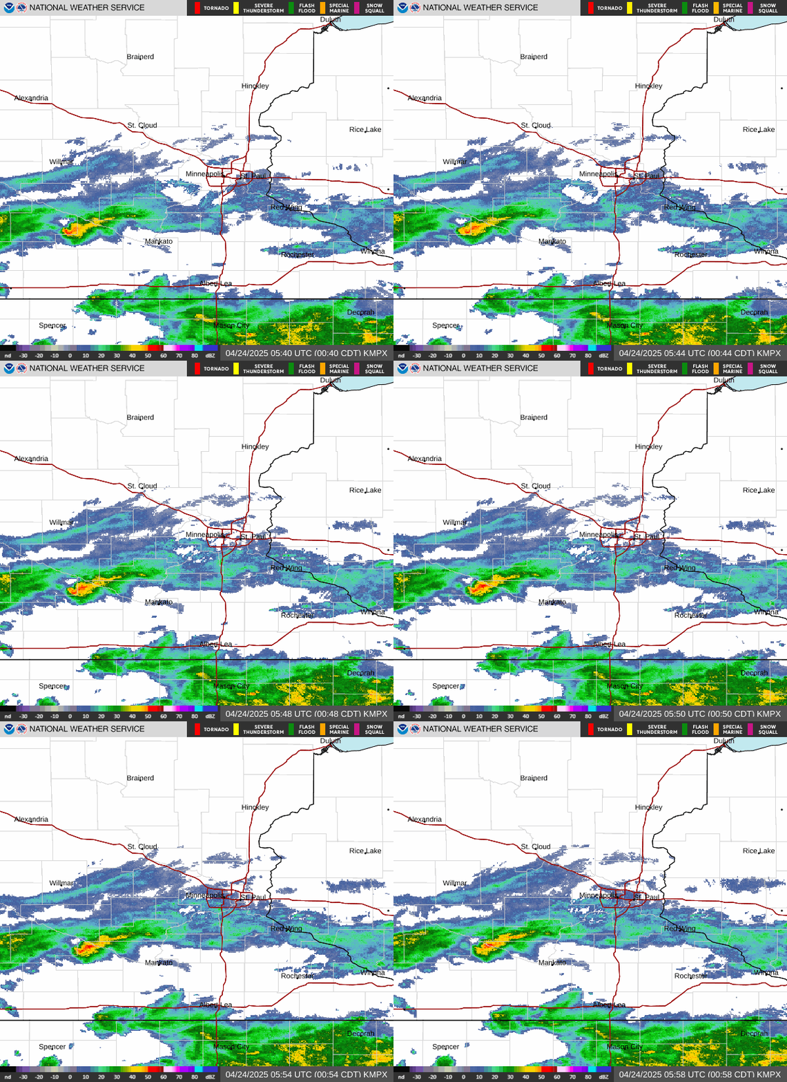
Minneapolis/St.Paul Radar Regional Satellite Twin Cities Traffic Info Map
Radar Satellite Traffic Traffic Cams
Updated: @ 31-Dec-1969 11:20pm - next update at 11:30pm  
Summary / Temperature Wind Rain Air Quality
Mostly Cloudy Mostly Cloudy
Visibility: 10 miles (16 km)
Currently: 26.6, Max: 37.8, Min: 25.8 26.6°F
Warmer 0.2°F than last hour.

Uncomfortably Cold

Feels Like: °F

24-hr difference
-12.2°FColder 12.2°F than yesterday at this time.
  Today Yesterday
High: 37.8°F
12:00am
55.6°F
4:04am
Low: 25.8°F
7:53pm
37.8°F
11:58pm
 Wind from NNW NNW
1
Gust:
7 mph
High Gust Today:
19 mph at 6:34am
Highest Gust this Month: 31 mph on 11/16
Rain Today: 0.00 in
Rain Rate (/hr): 0.00 in
Rain Yesterday: 0.28 in
This Month: 2.37 in
Season Total: 32.73 in
1 day since last rain.
Data Not
Available
Humidity & Barometer Almanac Moon
Humidity: 89 %  
Dew Point: 23.8°F Increased 0.2°F since last hour.
Barometer: 29.84 inHg Rising 0.02  inHg/hr
Baro Trend: Rising
Sunrise: 7:15am
Sunset: 4:41pm
Moonset: 12:19pm
Moonrise: 9:17pm
Waning Gibbous
Waning Gibbous, Moon at 19 days in cycle
68%
Illuminated
UV Index Forecast UV Index Forecast
21-Nov-2024
1.3     Low 
22-Nov-2024
1.3     Low 
 NWS Weather Forecast: Tonight & Thursday
Tonight

Tonight: Chance Light Snow then Mostly Cloudy
Chance Light Snow then Mostly Cloudy

Lo 26 °F
NWS forecast: A chance of snow before midnight. Mostly cloudy. Low around 26, with temperatures rising to around 29 overnight. Northwest wind 10 to 15 mph, with gusts as high as 35 mph. Chance of precipitation is 50%. Little or no snow accumulation expected.
Lakevilleweather.com station forecast: Partly cloudy and cooler.
 
Thursday

Thursday: Patchy Blowing Snow then Mostly Cloudy
Patchy Blowing Snow then Mostly Cloudy

Hi 37 °F
NWS forecast: Patchy blowing snow before 7am. Mostly cloudy, with a high near 37. Northwest wind 15 to 20 mph, with gusts as high as 40 mph.
Current Airlake Airport METAR Observation:
2024/11/21 05:15 KLVN 210515Z AUTO 30008KT 10SM SCT031 BKN044 M03/M05 A2985 RMK AO2